Daily Progress Report
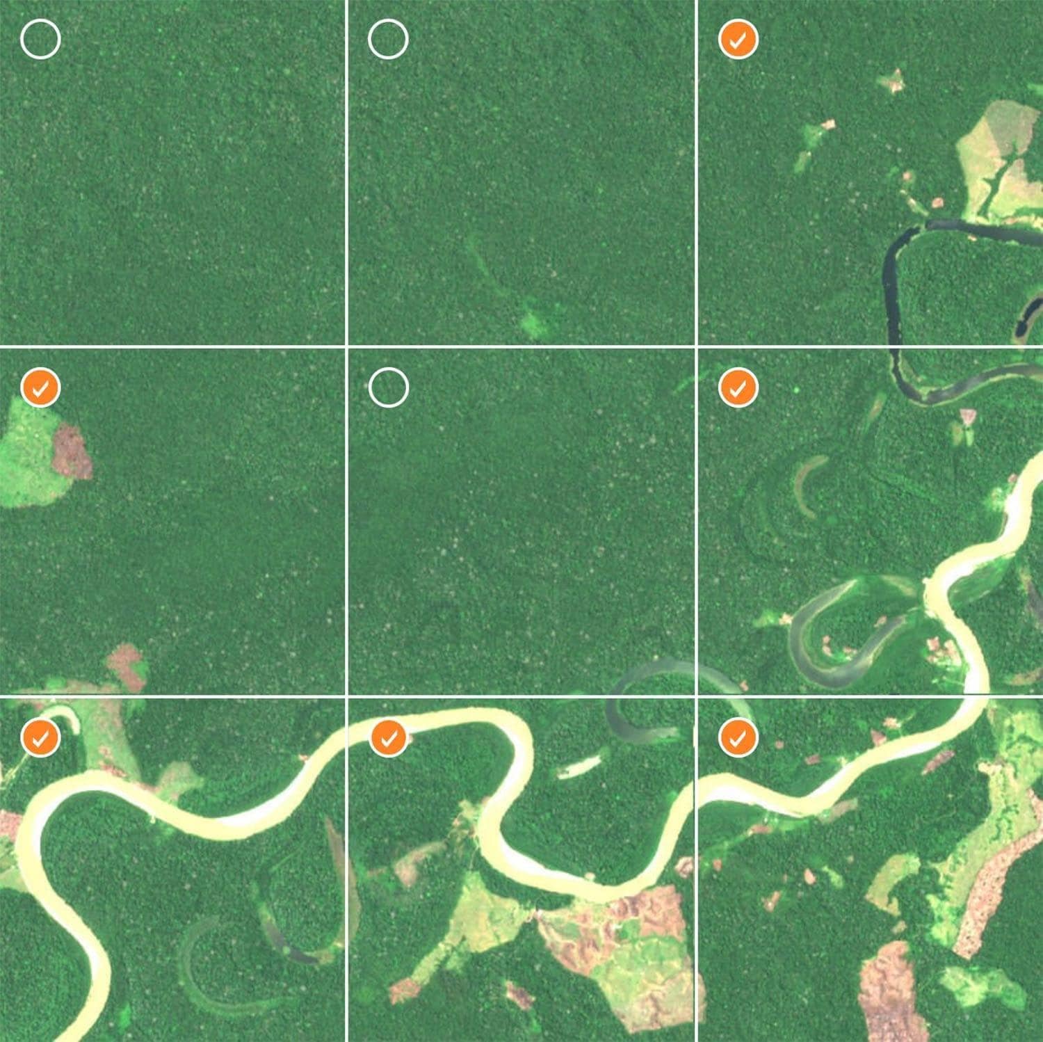
While computer vision models can be trained to quickly identify areas of the rainforest that have been significantly damaged, signs of deforestation can be challenging for a computer to see at first. It takes human eyes to properly classify images, in order to build models that can detect the subtle differences between satellite imagery. For every image that you select as an area of deforestation in our crowdsourcing project, IIASA gets closer to building a model that can be used to alert governments and conservation organizations as to when and where deforestation occurs.

Assessments to Date
We currently have over 44,000 images that need to be classified through crowdsourcing. Here’s our progress so far and how much more we need to do.
Classification Map
This map shows the small segment of the Amazon we are using to build our AI model. By using image data from this ecologically diverse territory, we are giving our model a wide variety of examples so that it can one day learn to detect human impact anywhere in the Amazon. Here's our progress in classifying images.
Area Coverage to Date
Over the course of this project, we will evaluate as many as 400,000 square kilometers of the Amazon. Here's our progress to date.